
Geospatial Data
GIS mapping. Scalable data libraries.
Focus on the concept while Giraffe does the math. Access every project feature. Build connected calculations and scalable reporting for effortless analysis.

Connect, visualize & interrogate
Bring together all your geospatial data into a single pane of glass. Whether it’s zoning data from your city's GIS or a PDF from your engineer, you can simply connect, upload, organize and interrogate your data from one place.
Replace: Multiple systems to understand site context. Complex technical GIS tooling that requires an expert to use.
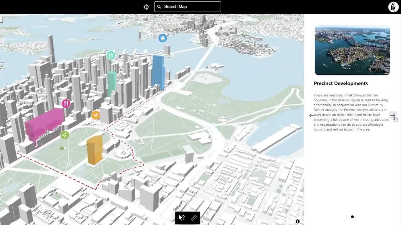
Data discovery at your fingertips
Intelligent search capabilities allow you to filter through all the vector data in your library. Multi-criteria search powers site selection for off-market opportunities, quick asset identification and issue identification. Easily export your results for Excel as a .csv file.
Replace: Shared folders with static files & screenshots. Time consuming research to find the right data.

Custom data libraries
Designate desired levels of data access. Keep project level data curated in a library of favorites only you can access or choose to share it with your team. Save hours on data research by having everything the team needs in one place.
Replace: Poor data habits and hours of repeated work by lack of organization and sharing.
Empower your organization with accessible data
ESRI & MapBox connectivity
Connect to the world leading map providers right in your workspace.
Geolocation
Automatically geo-locate static files so they always appear in the same place.
Multi-criteria search
Search layers on any combination of fields to find the information you're looking for.
PDF upload
Add a site survey or any PDF straight to your project. Simply size and scale.
All assets in one place
Manage all of your file types in one place and see them on your project map.
Utilize image files
Add a JPEG or PNG to your map or use them as icons for annotations.


